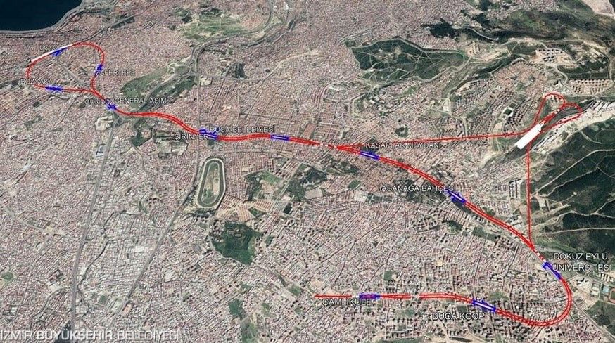
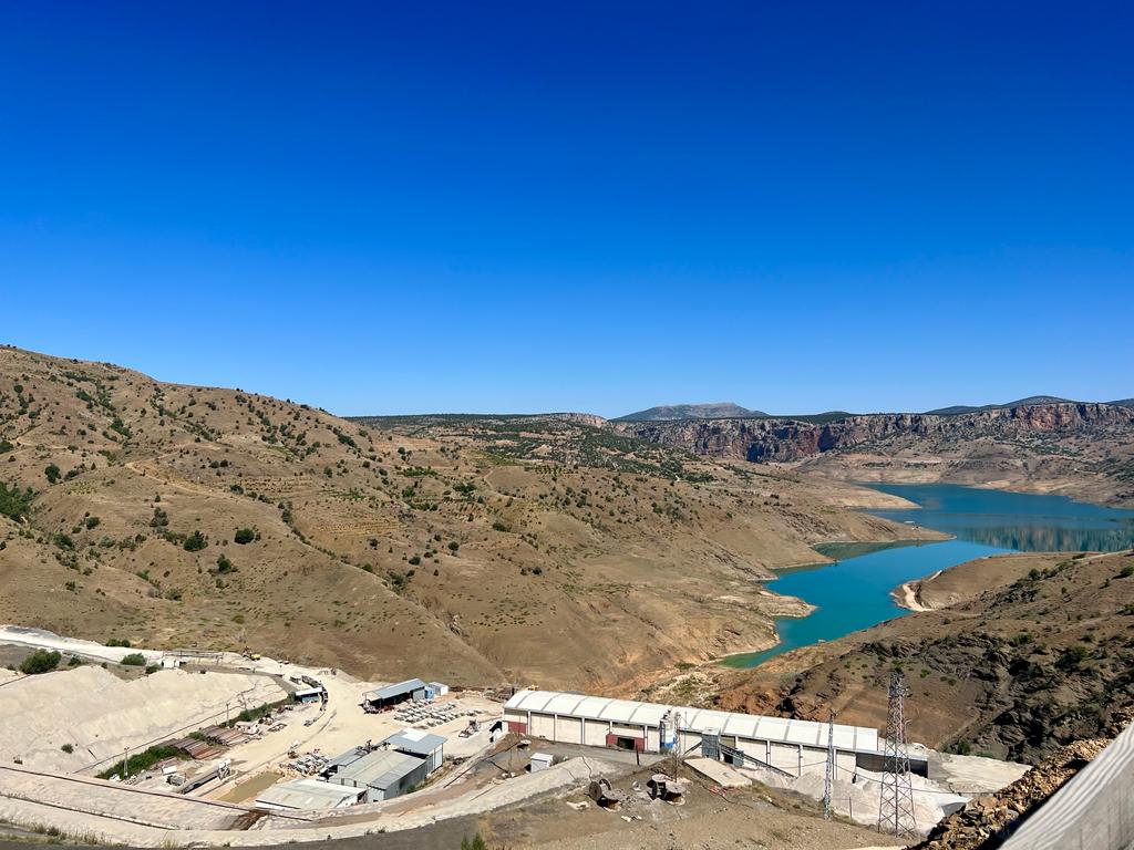
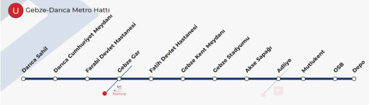
Gebze Darıca Metro Project
It is an 11-station metro project consisting of two lines of 15.40 km, starting from Darıca Sahil and reaching Gebze Organized Industrial Zone.
It has been designed with the aim of improving the transportation network by creating an alternative choice to the highway connection between Gebze Organized Industrial Zone and Gebze-Darıca districts and rail system integration to Gebze Marmaray Station.
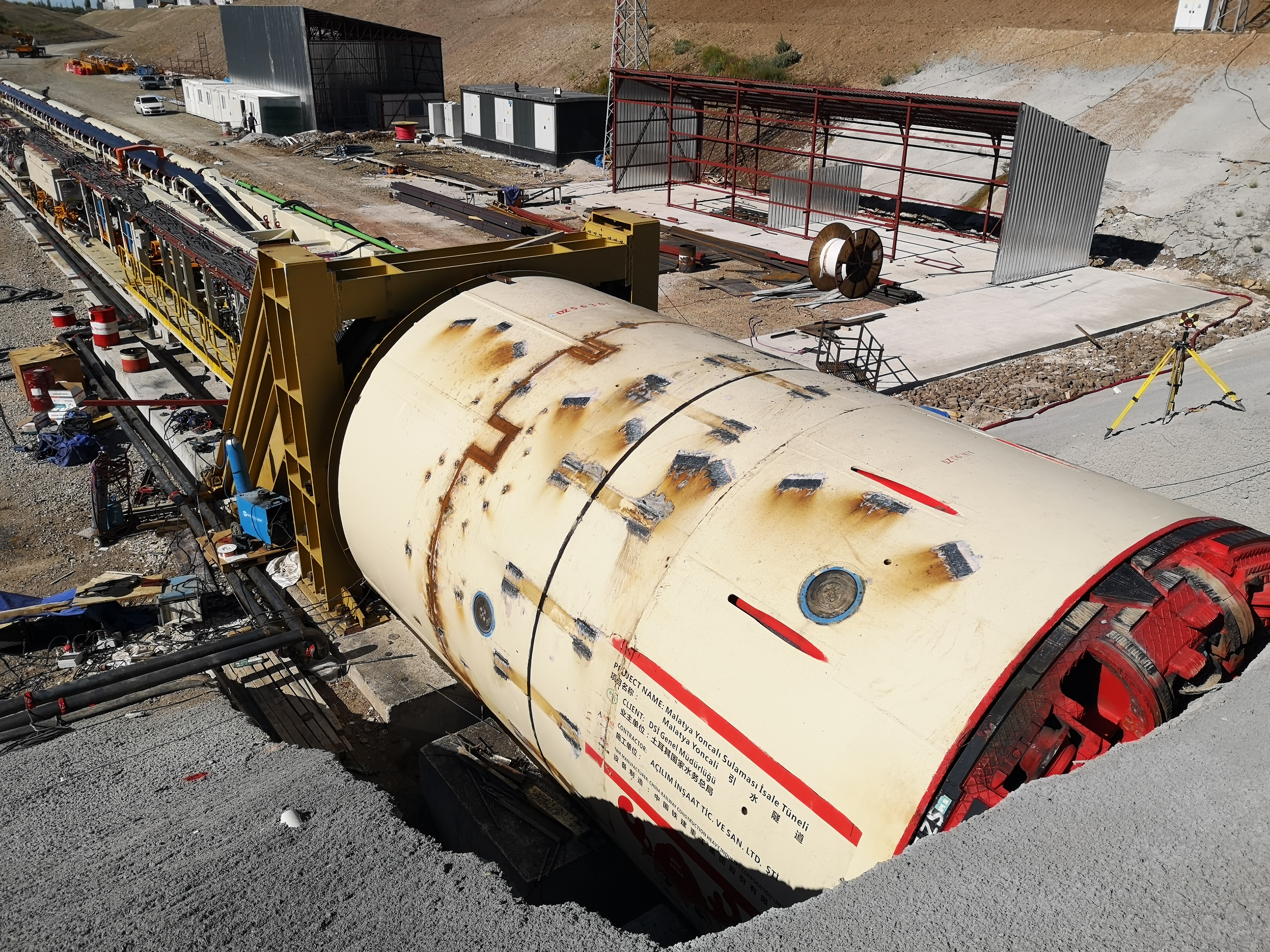
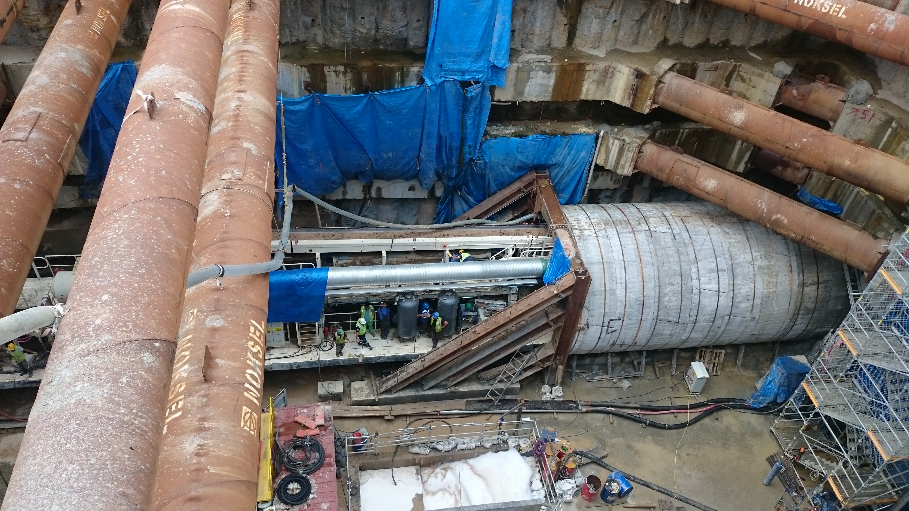
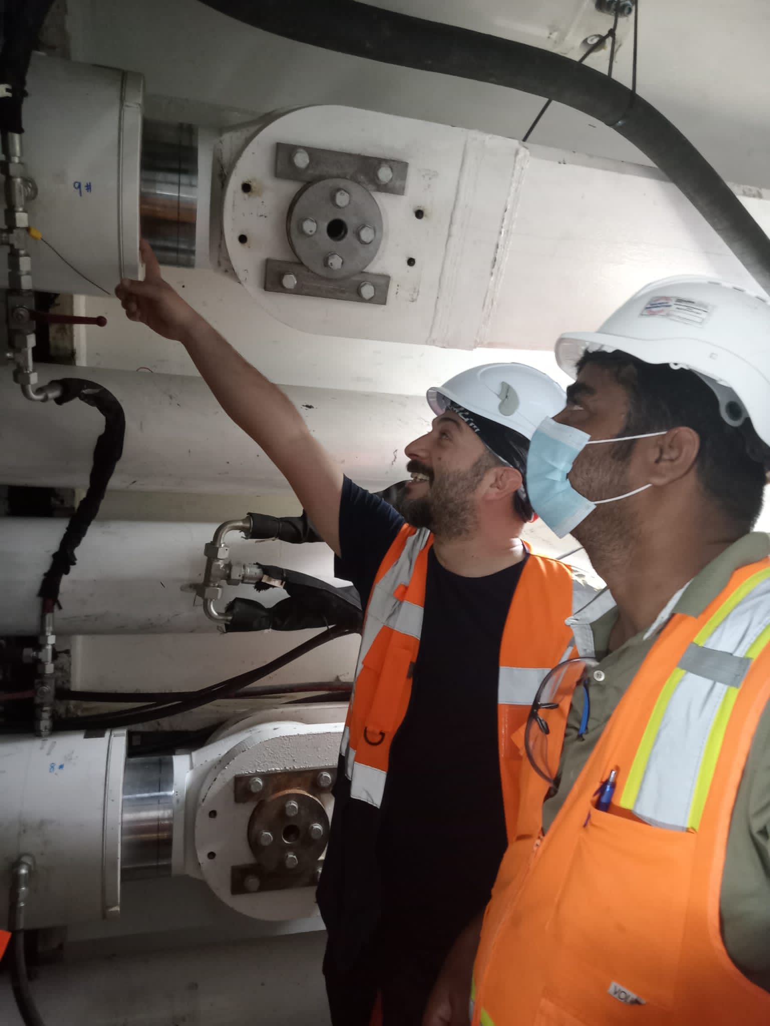
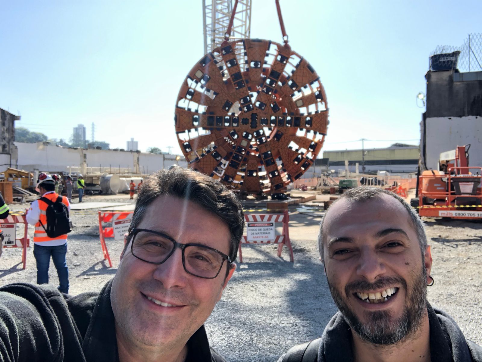
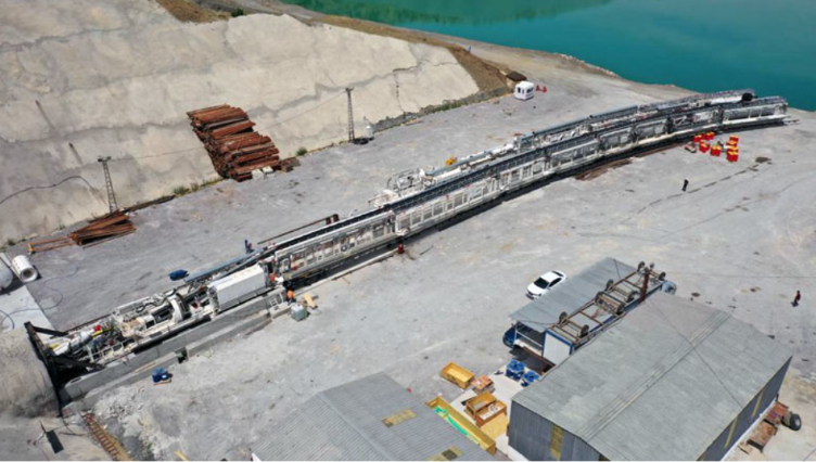
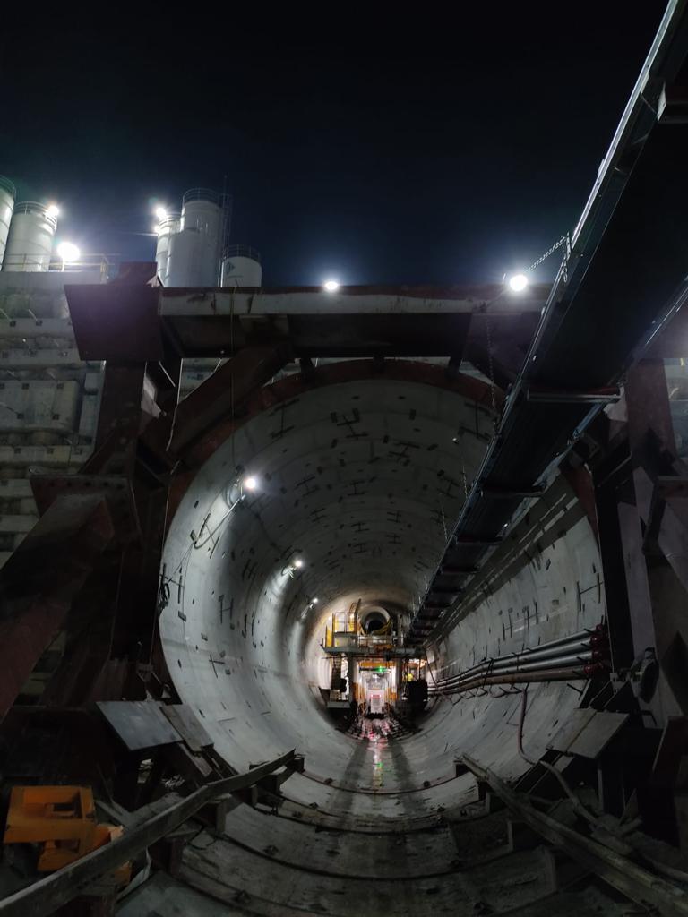
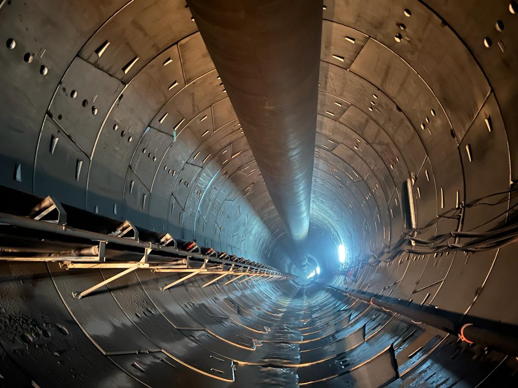
Approximately 4km of the project was constructed as TBM tunnels, 2 Lovsuns TBM machines were used in tunnel excavations and ENZAN system was preferred as survey navigation system.
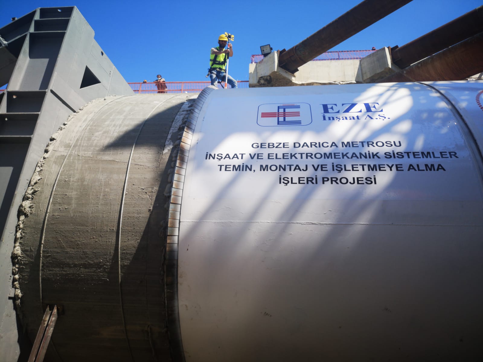
Within the scope of the project, the project contractor company EZE İNŞAAT A.Ş. and TSS Harita İnşş. And Eng. Tic. LTD. and the mapping activities were subcontracted to TSS Harita. The signed contract for the relevant project can be presented in the annex.
GDM Metro Project TBM Tunnels Measurement Procedures
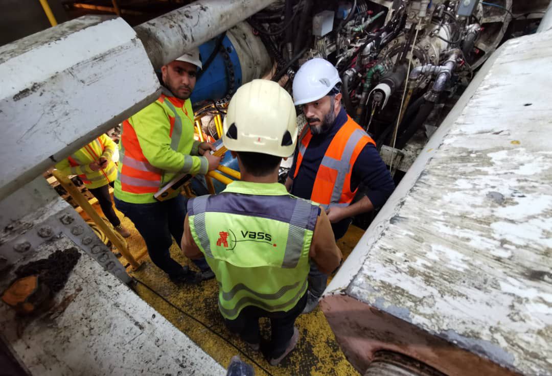
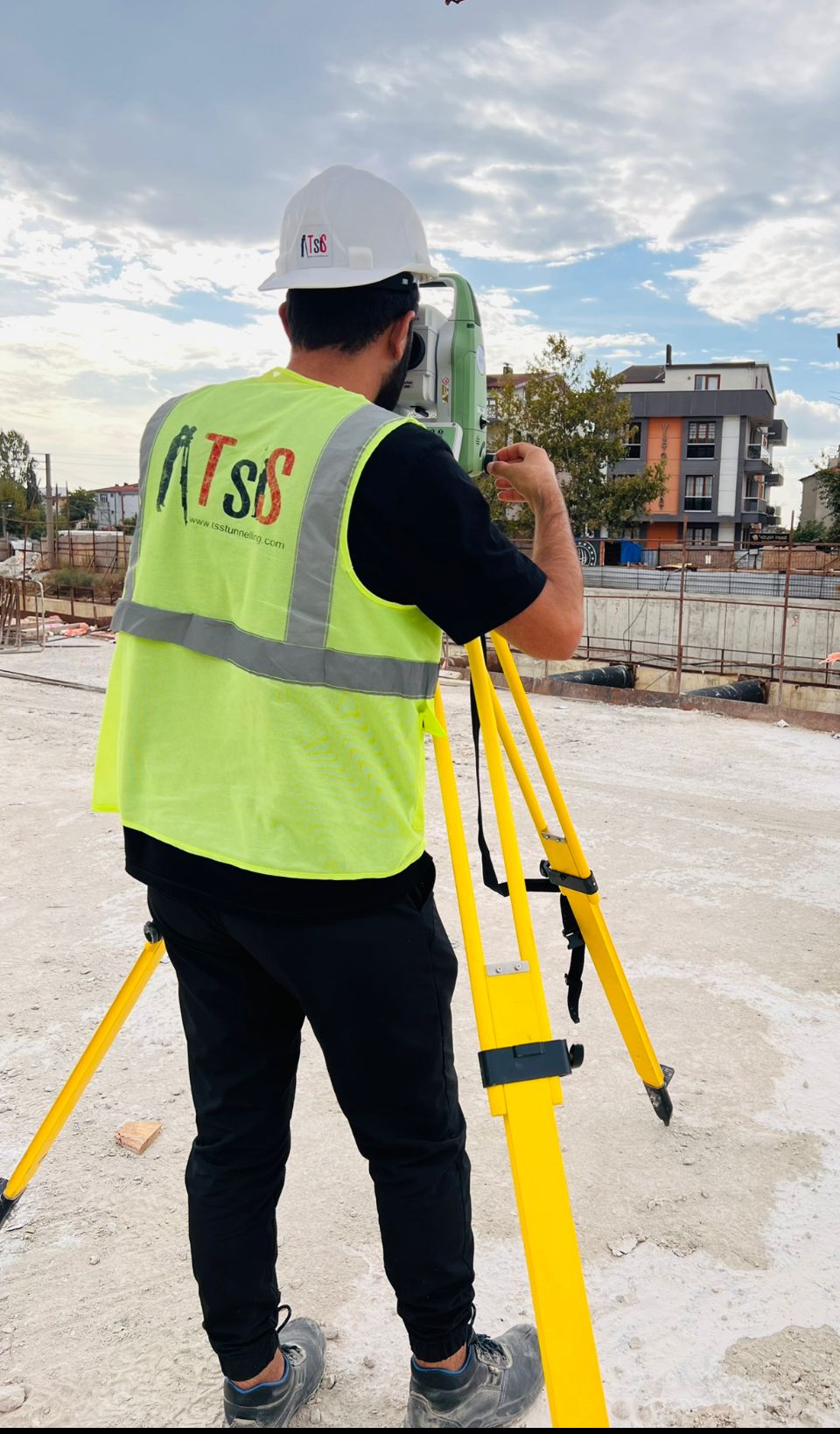
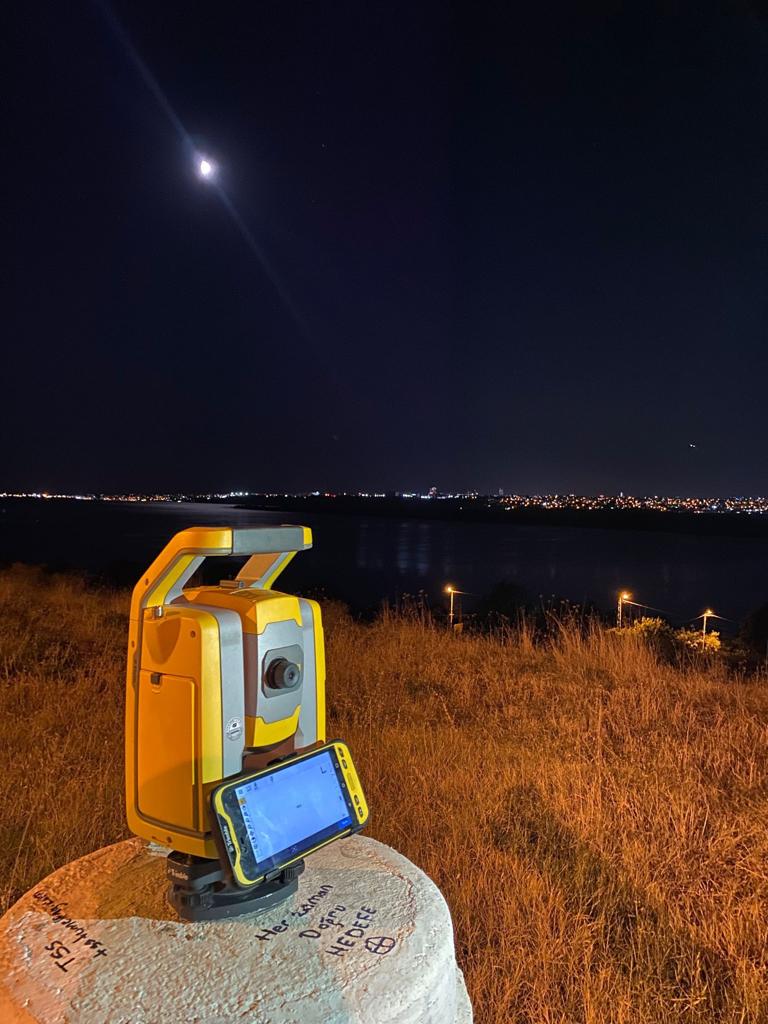
As TSSTUNNELLING, we undertook the calibration, installation and TBM surveying system operation of the project, starting with the triangulation -GPS point facilities on the project route and the works carried out for the main TBM tunnels are as follows.
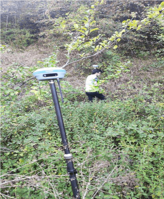
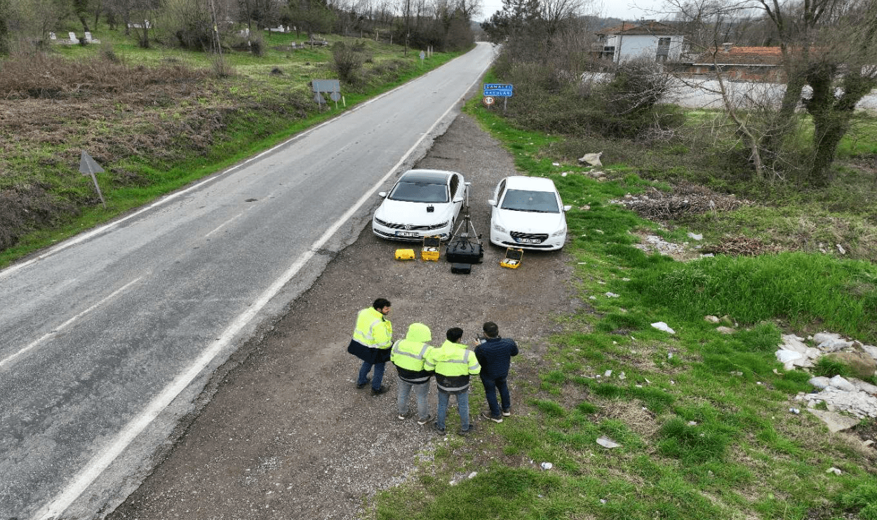
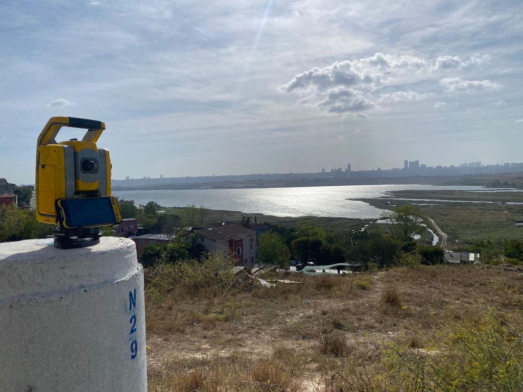
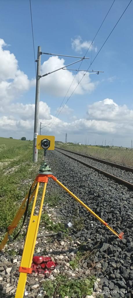
• Placement and measurements of the triangulation-GPS network
• Piles placement around the entrance concourse and station crossings
• Surface observations between triangulation points
• Production preparations of TBM entrance station structure (cradle concrete, shield leveling, steel cradle, push frame, start ring placement and all surveying activities before TBM installation and excavation)
• In-tunnel observation measurements and active progress of the navigation system
• Route line controls at station crossings
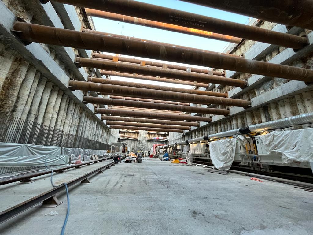
TBM Station Crossings Surveying Works
In the project, which has 11 stations in total, 4 stations were used as TBM transition and exit stations, and there is 1 switch structure within 4 stations.
The main works carried out in the station fabrication works are as follows.
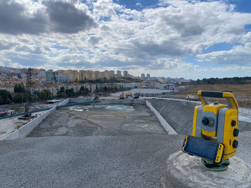
• Station/Shaft area basis for production piles placement and measurements
• Integration of the piles used for station construction into the TBM route
• Bored pile applications, cap beam applications, girder beam applications, excavation cubage calculations, determination and application of displacement lines.
• Wall concrete application and mold controls
• Station structure shoring application and controls
• Arch mold application and controls
• All surveying works within the scope of the station.
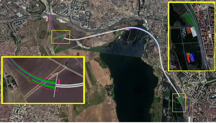
TBM Route In-Tunnel And Surface Deformation
All structures and surfaces in and around the perimeter and concors of the 4 stations and switch structures on the TBM excavation route were monitored using several deformation techniques and presented as data to the Geotechnical unit and thus TBM excavations were actively monitored daily. The techniques and methods used in deformation measurements are as follows.
• Ground settlement bolt tracking (Geometric leveling)
• Building settlement bolt tracking (Geometric leveling)
• Building bending bolt tracking (by making 3d measurements with the help of Totalstation)
• Inclinometer measurements (movements in the excavation cover with the help of an inclinometer)
• Piezometer measurements (excavation cover water level with the help of a piezometer)
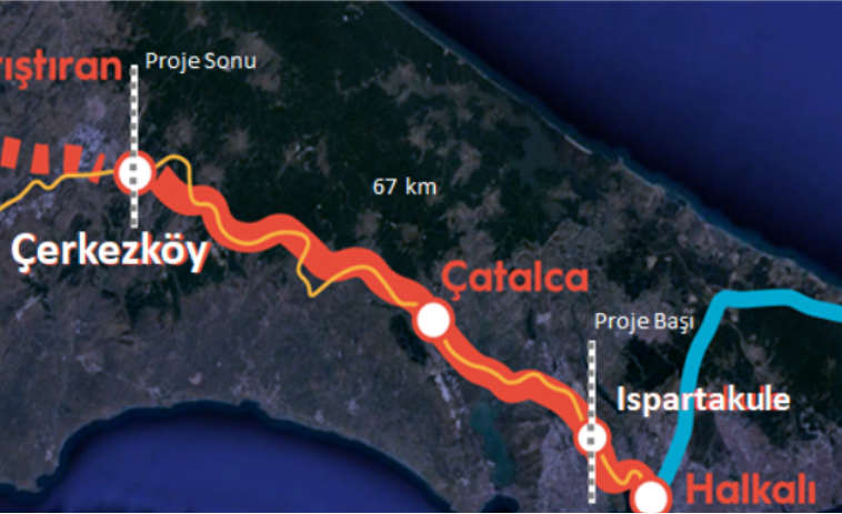
Supply and Construction of Halkali-Ispartakule Railway Line Construction and Electromechanical Systems Within The Scope of Halkali-Kapikule New Railway Construction
It plans to build a new high-speed railway line from Halkali to Ispartakule and Ispartakule to Çerkezköy (the Project) in two different tenders and sections. The Project will be located in the Istanbul region and Tekirdağ province.
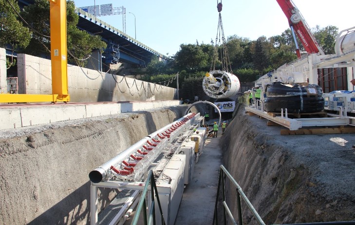
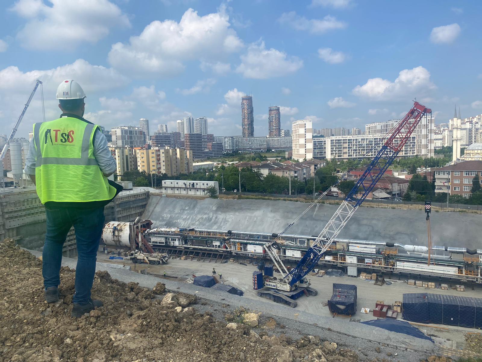
The first part of the Project covers Halkalı - Ispartakule section and includes 7km TBM tunnel excavation, the tunnel will be excavated with 2 CREG brand TBMs that will enter from Halkalı entrance structure and the surveying system to be used on the TBM is PPS navigation system.
As TSS Harita İnş LTD ŞTİ, we undertake distributorship of PPS/TACS navigation systems in Turkey, Middle East and Turkic Republics, the project management has deemed it appropriate that all surveying activities based on TBM be carried out by our company and for this reason, GÜLERMAK-YAPIYAPI-TAŞYAPI RAILWAY CONSTRUCTION PARTNERSHIP VENTURE and TSS Harita İnş. ve Müh. Tic LTD ŞTİ Companies signed a subcontractor agreement between the subcontractor contract and mapping activities were transferred to TSS Harita company. The signed contract for the relevant project can be presented in the annex.
Surveying Activities Performed and Ongoing Surveying Activities within the Scope of Halkalı-Ispartakule Railway Line within the Scope of Halkalı Ispartakule New Railway Construction
As TSSTUNNELLING, we undertook the calibration, installation and TBM surveying system operation in the project, starting with the triangulation -GPS point establishments on the project route,
The works carried out for TBM tunnels are as follows.
• Survey and measurements of the triangulation-GPS network
• Piles placement around the entrance concourse and station crossings
• Surface observations between triangulation points
• Production preparations of TBM entrance station structure (cradle concrete, shield leveling, steel cradle, push frame, start ring placement and all surveying activities before TBM installation and excavation)
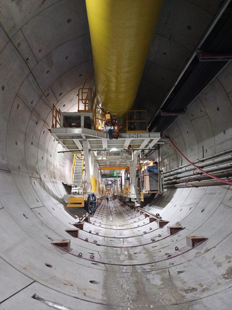
• In-tunnel observation measurements and active progress of the navigation system
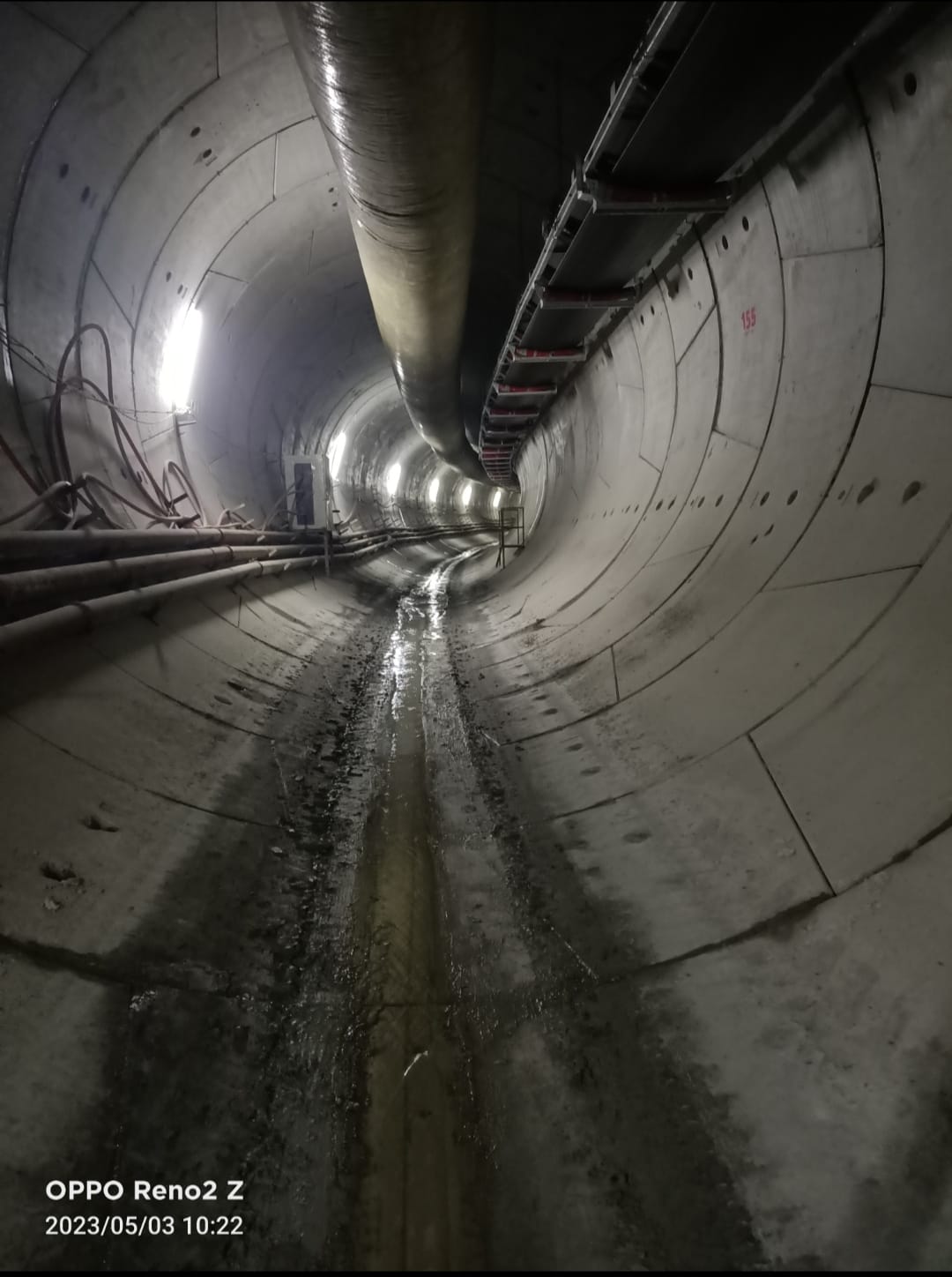
• Conveyor belt manufacturing and heel concrete and in-tunnel belt layout measurements
• TBM excavation mirror support process surveying activities
• Cross Passage NATM production measurements
• TBM tunnel axis horizontal vertical element calculations
TBM Station Exit Structure
Halkalı Ispartakule New Railway Construction includes 2 stations and 1 shaft consisting of entrance and exit structure, TBM entrance mirror is from Halkalı open field structure and exit structure consists of a concourse structure in Ispartakule section. There are 13 CPs within the 7 km tunnel.
The main works carried out in station fabrication, shaft and CP works are as follows.
• Station/Shaft area manufacturing pile installation and measurements
• Integration of the piles used for station construction into the TBM route
• Bored pile applications, cap beam applications, girder beam applications, excavation cubage calculations, determination and application of displacement lines.
• Wall concrete application and mold controls
• Station structure shoring application and controls
• Arch mold application and controls
• All surveying works within the scope of the station.
TBM Route In-Tunnel and Surface Deformation
The deformation measurements made in military zones, roads, building clusters and ponds on the TBM excavation route are submitted as data to the Geotechnical unit and TBM excavations are actively monitored daily. The techniques and methods used in deformation measurements are as follows.
• Ground settlement bolt tracking (Geometric leveling)
• Building settlement bolt tracking (Geometric leveling)
• Building bending bolt tracking (by making 3d measurements with Totalstation)
• Inclinometer measurements (movements in the excavation cover with an inclinometer)
• Piezometer measurements (excavation cover water level with a piezometer)
.jpeg)
.jpeg)