Segment Mold Control Measurements
2D and 3D measurements of the segment molds assembled during the segment factory installation phase and comparison with factory manufacturing values. Periodic mold measurements (2D-3D) to minimize ring manufacturing defects (segment crack, breakage, tooth formation, etc.) during tunnel progression and reporting by comparing with manufacturing values.
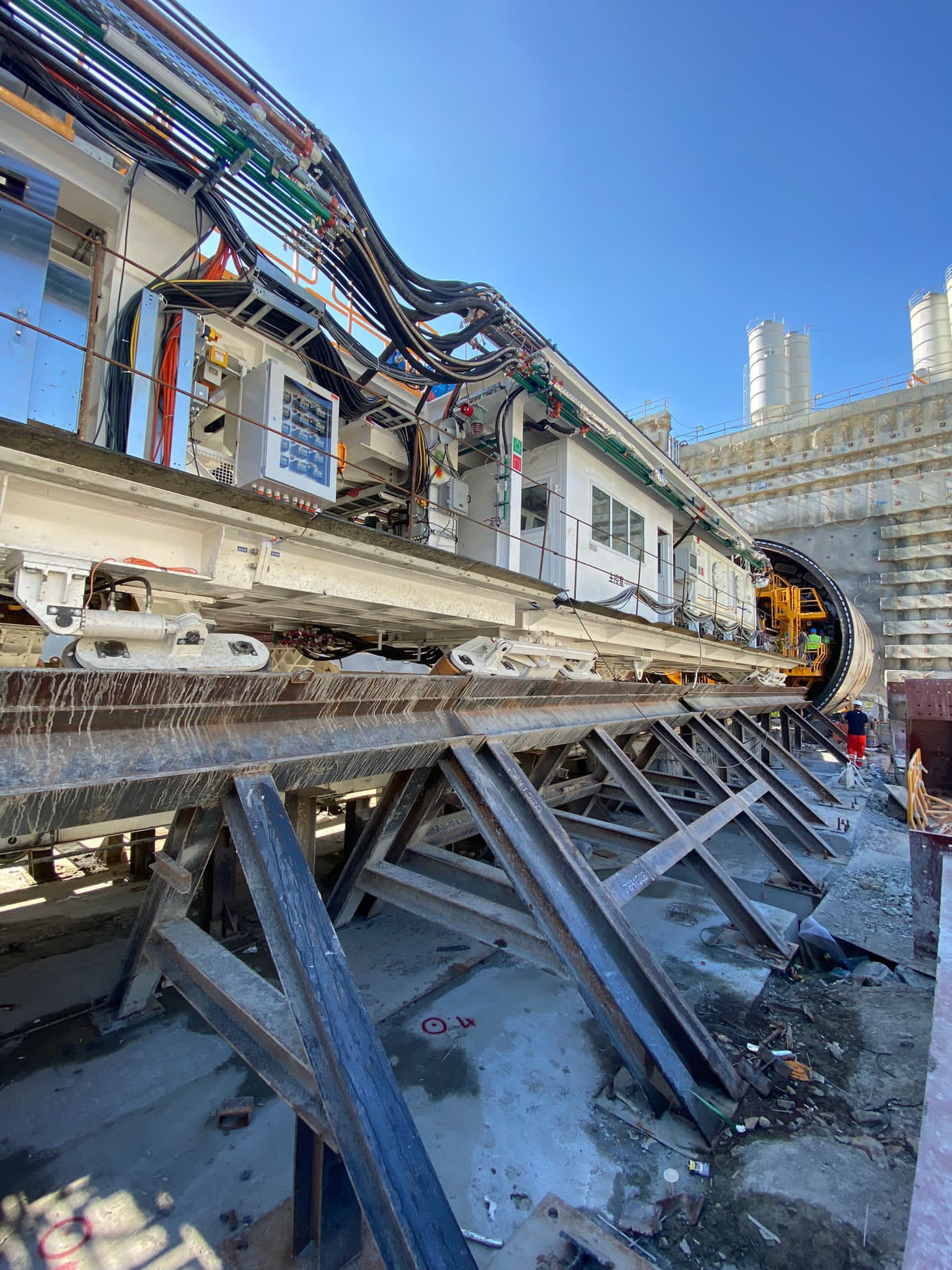
TBM/NATM Project Revisions
Changes in route, excavation method, station type, etc. that may occur in the projects are made in accordance with the specifications.
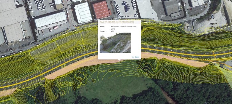
Surface Deformation Measurements and Geotechnical Analysis for Tunnels
Monitoring the movements that may occur on the route with geodetic (building and ground bolts, 3D observation points, etc.) and geotechnical methods (inclinometer, piezometer, etc.) to monitor, evaluate and take precautions for the impact on the surrounding structures and tunnels.
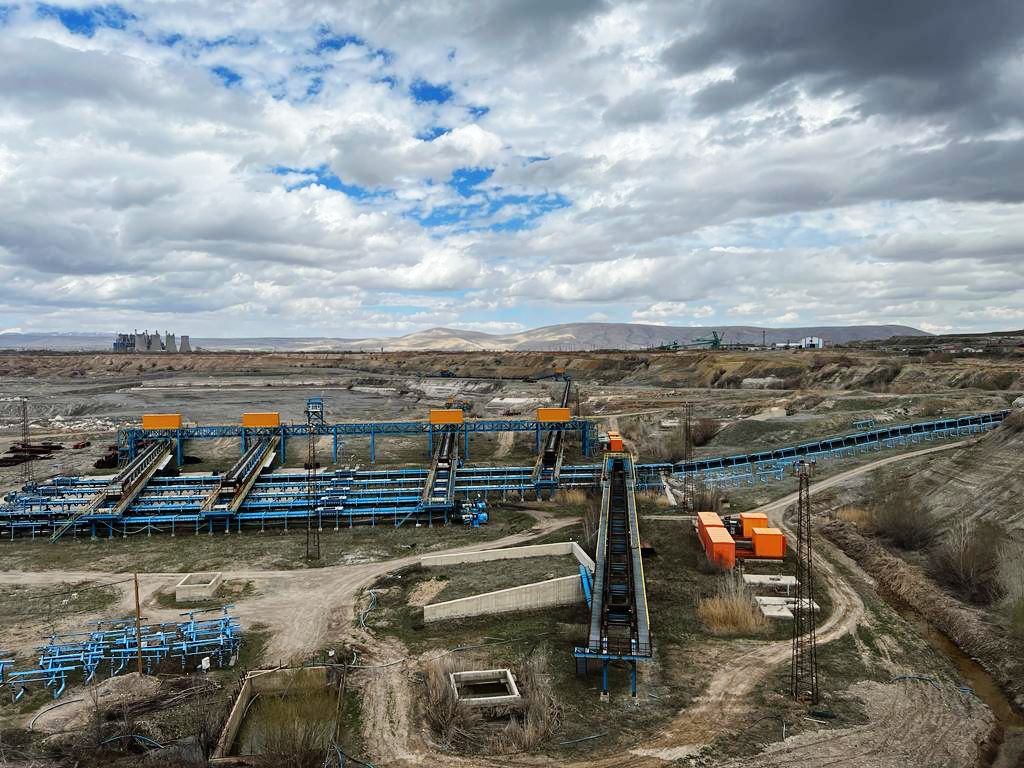
Geotechnical Monitoring and Analysis for Open Mines
Geotechnical (inclinometer, piezometer, etc.) and geodetic (3D observations) monitoring and evaluation of the movements that may occur in the ground during production excavations in open mines and determination of precautions.
Slope Monitoring
Geotechnical (inclinometer, piezometer, etc.) and geodetic (3D observations) monitoring and evaluation of the movements of the slopes created in large-scale mines to detect landslides, landslides, etc. in advance.
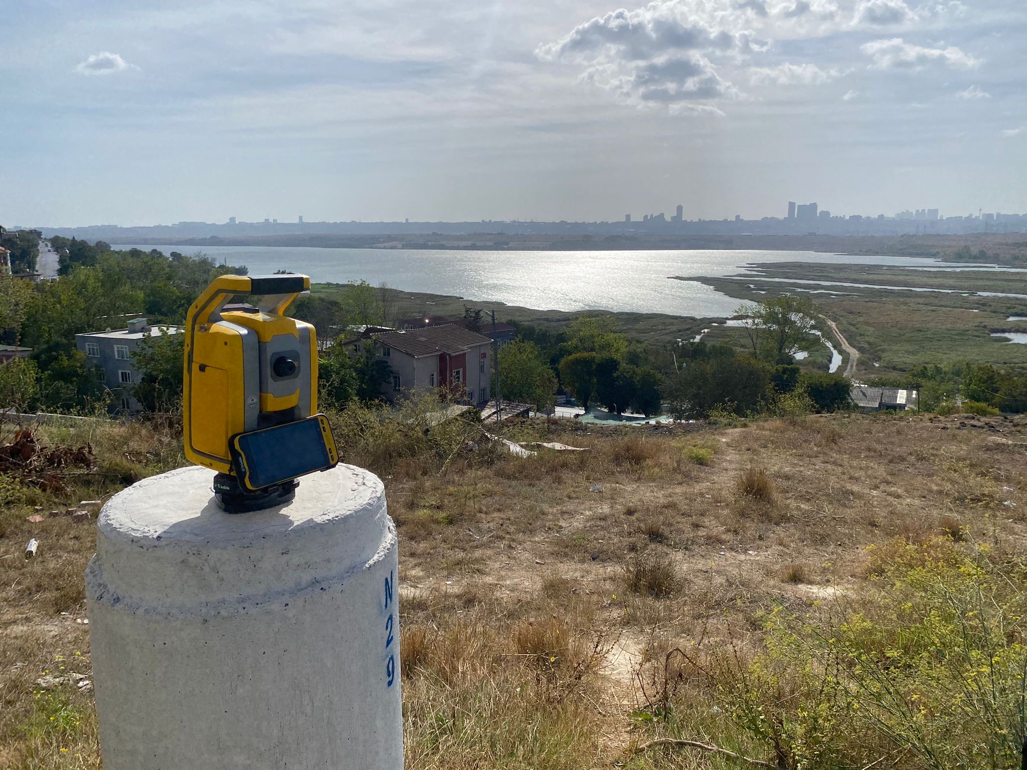
GPS Measurements
Static measurement, evaluation and calculation of the coordinates of the triangulation network with GPS before the project implementation stages.
Observation and Control Measurements
Measurement and evaluation of the created geodetic networks by terrestrial methods, and determination of the earth movements by controlling them during the project.
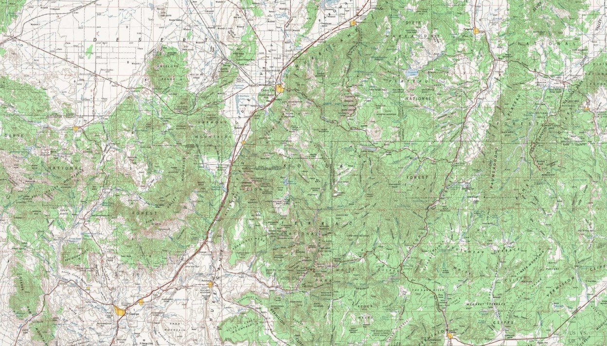
Map Digitization
Measurement of the existing measurements of the project route both photogrammetrically and geodetically and creation of maps.
Structure Design Implementation
Entrance structure preparations before TBM installation, skid concrete, push steel, starting ring layout, determination of belt or rail axes, if any, support units (Gantry) layout, concrete batching plant, gantry crane layouts.